The 3D software used to make reflective objects requires what's called a reflection map, which is a 2D map of the environment. Think of a map of the earth. Chances are you are thinking of a 2D "Mercator Projection". The only place where the map is true is at the equator. As you move north or south, the map exaggerates the size of the continents, until the South Pole looks huge because its been stretched out at the bottom. This is because its a projection of the surface of a sphere onto a 2D rectangle. To make a computer generated object appear reflective, you give the software a 2d image that is like the mercator projection of a sphere, but the sphere is the color of information in any direction. The X axis of the picture is the azimuth (like panning a camera) and the Y axis is the elevation (like tilting a camera up or down.)
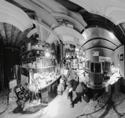
So, the point of all this is that to put the spaceship into an environment, we needed to build an environment map of each location. We ended up doing this by shooting stills in every imagineable direction, and pasting them together into a real Frankenstein of a map, but they sorta worked.
So, I set out to make a scanner that could shoot in all directions and build a map of an environment all at once, with complete accuracy. I didn't realize how hard this would end up being, and to make a long story short, I'm still tinkering with it 10 years later!
What's it good for? Well, automatic realistic reflection maps for computer generated reflective objects is a good beginning. But as I got more involved in building scanners and evaluating images, I've realized there's another interesting application: Telepresence. If you scan an environment at very high resolution, then scroll a small window (your viewport) through it, you have the illusion that you are controlling a camera that can look in any direction! Think of the motion picture applications! Encode a film camera's pan/tilt/zoom parameters and shoot the actors with bluescreen. Drive an SGI reality engine with the camera parameters, and place the virtual camera at the center of a sphere with my scanner's image mapped onto it, and you have the appearance of being "on-location" without the expense! You could have a library of high-quality scans of really amazing landscapes and locations.
Given the potential to share "research", albeit amateur, I decided to publish my efforts on the WWW and see what happens. So here goes. I break down the text and images by the version numbers I assigned to the scanners I've built.